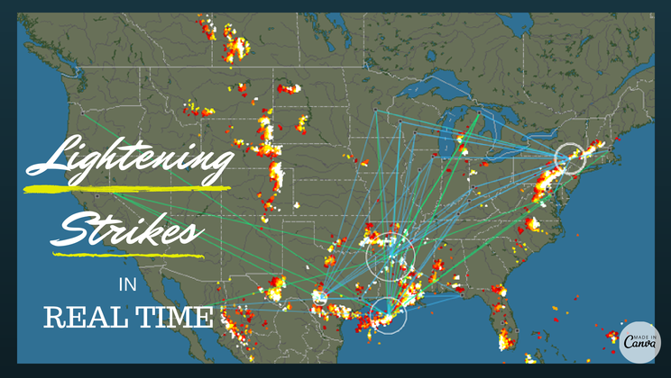
The real-time lightening strike map [interactive map]
Posted by staff / June 25, 2014
Wondering if a nasty bout of lightening is headed your way or already under a cloud and feeling all alone in the world?
Thanks to Germany-based Blitzortung.org and their international network of volunteers, you can see exactly where the action is in real time, and even get involved in the project if you’re so inspired.
According to their website:
“Blitzortung.org” is a lightning detection network for the location of electromagnetic discharges in the atmosphere (lightning discharges) based on the time of arrival (TOA) and time of group arrival (TOGA) method. It consists of several lightning receivers and one central processing server. The stations transmit their data in short time intervals over the Internet to our server. Every data sentence contains the precise time of arrival of the received lightning discharge impulse (“sferic”) and the exact geographic position of the receiver. With this information from all stations the exact positions of the discharges are computed. The aim of the project is to establish a low budget lightning location network with a high number of stations. The price for the hardware used is less than 200 Euro. The sferic positions are free accessible in raw format to all stations that transmit their data to our server. The station owner can use the raw data for all non-commercial purposes. The lightning activity of the last two hours is additionally displayed on several public maps recomputed every minute.
If you’re looking for an electrifying science project, you can’t go wrong with this baby, and it’s a heck of a lot safer than storm chasing.
Check out the maps here.
Full story at Blitzortung.org via Kottke.
As exciting as weather gets.
Map credit: Blitzortung.org, Graphics credit: Canva
Comments are off for this post.